For the past couple of years I’ve been traveling to “la Península de Yucatán” quite often playing quite diferent parts: as photographer, IT consultant, Tourism Consultant and also, as plain tourist. And after all these trips I’ve come to one conclussion: the bible is wrong, the promissed land wasn’t to the Jews, but was to the Mayan people.

The thing is that, preparing a scouting trip over two weeks long about to start, I took all my previous notes, facts, photos and suggestions and put them alltogether in one open map.

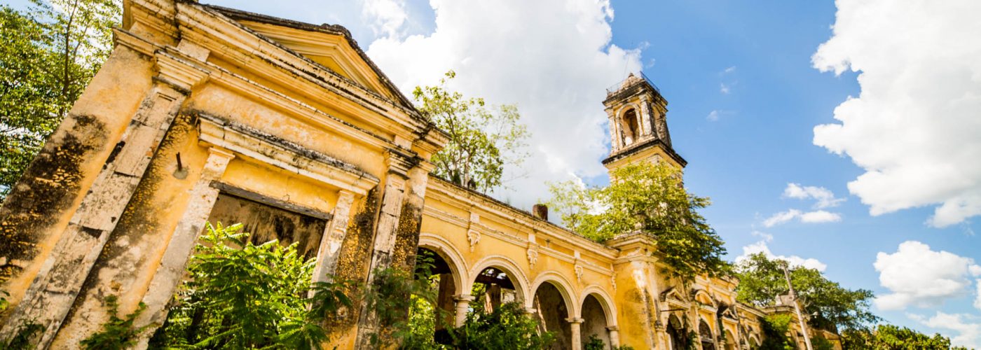
From Cancún (land ther and leave immediately), to a three star restaurant which has a lab for the NASA (I kid you not), all the way through little street food posts, markets, lost churches, abandoned haciendas and cenotes in the middle of nowhere, this selection covers almost all the península.
All the Points of Interest (POIs) marked in this map are categorized by:
- (23) Restaurants/Coffe Shops/Bars
- (24) Cenotes/Beaches/Lagoons
- (16) Museums/Churches/Pyramids/Cultural Centers


Some entries have photos I’ve been taking during these past trips on site, and most of the restaurants I’ve had diner at have rating/price (max: ***/$$$), and I hope to grow this map after each trip. It’s all written in English.
You can browse the map here, but the direct link to Google Maps is this:
Mapa de la Península de Yucatán
Thanks to Bárbara Xacur, Alex Orozco, Rodrigo Franco, Javier Olán and so many other great people I’ve met along the way, for their suggestions and secret places.


